Không có sản phẩm nào trong giỏ hàng
Chào mừng bạn tới TUNGVIET SMART EDUCATION - Công ty cung cấp giải pháp Edtech hàng đầu Việt Nam
Hotline:
0903 852 645
- Home
-
Giới thiệu
- Phòng Học Tương Tác 5in1: Giải Pháp Hiện Đại Cho Giáo Dục Thế Kỷ 21
- Xu Hướng Sân Chơi Thể Thao Tương Tác Năm 2024
- NỀN TẢNG SỐ HÓA SÁCH GIÁO KHOA ĐÁNG TIN CẬY TẠI VIỆT NAM
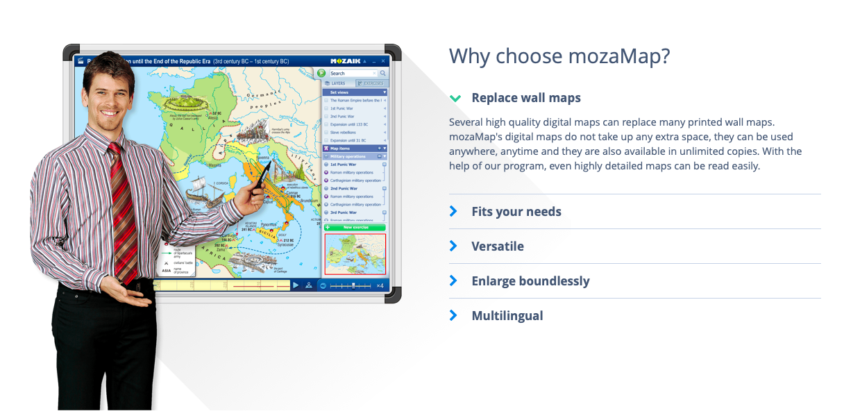
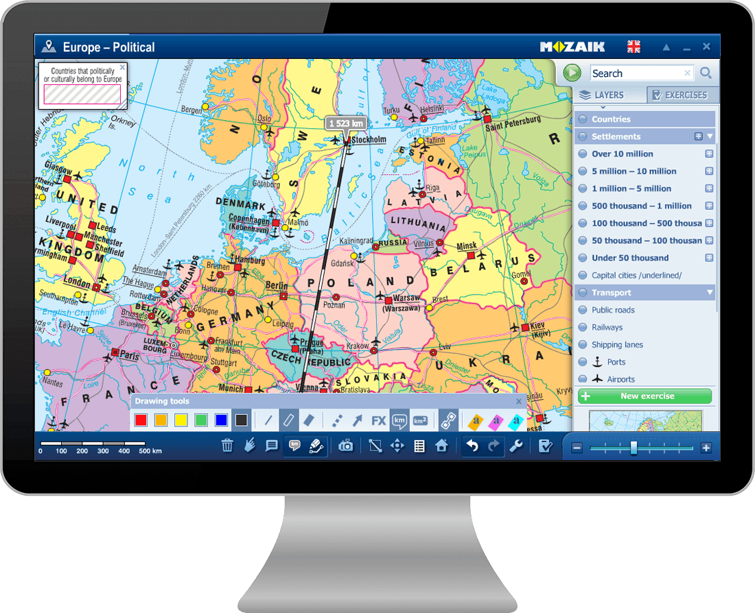
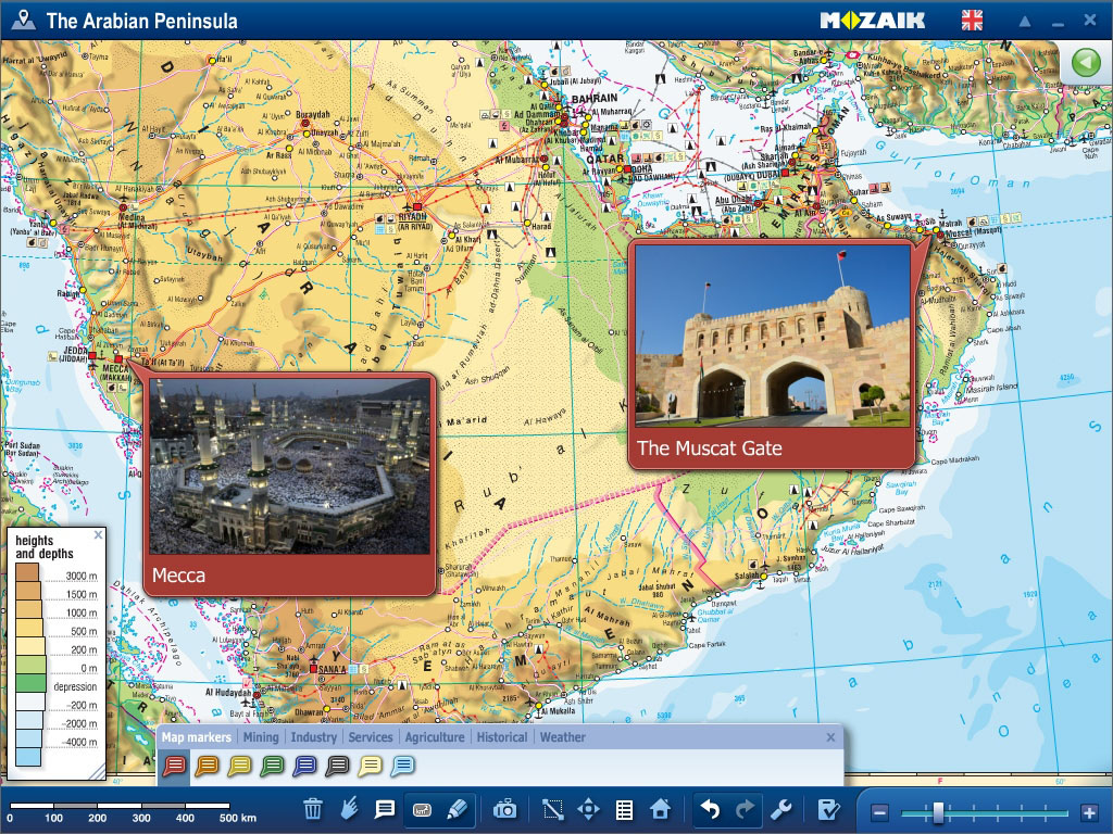
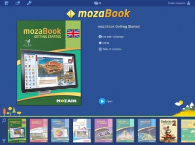
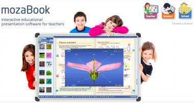
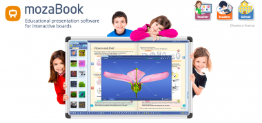
- Phần Mềm Soạn Bài Giảng và Học Liệu Số 3D mozaBook: Công Cụ Hỗ Trợ Giảng Dạy Hiệu Quả
- Giới thiệu về Tùng Việt Smart Education.
- Phần mềm soạn bài giảng và dạy học 3D
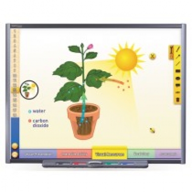
- Lớp học thông minh
- Thư viện Thông Minh
- Hoạt động ngoại khóa
- Thầy cô và cha mẹ
- Giáo dục nghề nghiệp
- NEWPATHONLINE- Chương trình giáo dục Mỹ
- Người nước ngoài
-
Sản phẩm
- Phần mềm soạn bài giảng
- Lớp học thông minh
- mozaWeb- Nền tảng học trực tuyến thú vị
- Hoạt động ngoại khoá
- Quản lý trường học
- Học chương trình chuẩn Mỹ
- Giáo cụ giảng dạy chuẩn Mỹ
- Điểm danh học sinh khuôn mặt-Đo thân nhiệt
- Robot trong trường học
- Trung tâm đào tạo
- Giáo dục nghề nghiệp
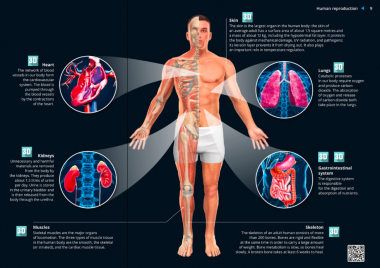
- Thư viện Thông Minh
- Màn hình Cảm Ứng - Tương Tác
- Khung Cảm Ứng Tivi
- Sản phẩm bán chạy
- Tin tức
- Liên hệ
- Video
- CHIA SẺ CẢM XÚC